If bicycling is your passion, then we have some great options for you in and around Gilroy. Whether you prefer riding around town, taking a paved bike trail, or pursuing a more difficult ride surrounded by nature, Gilroy has something for all levels and all types of biking.
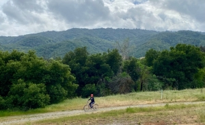
Bicycling Around Town in Gilroy
If you want to explore the city by bike, there are seven multi-use bike paths in the city, with some directly connected. Check out our City of Gilroy Bicycle Map with a variety of options, including color-coded designations for whether routes are on-roadway, off-roadway, and share-the-road.
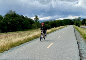
Some of the longer paths to choose from are:
- 11.5-mile Uvas Creek/Levee Path connecting to the Hecker Pass Bicycle Trail (more info. below)
- 3-mile Hecker Pass Bicycle Trail (more info. below)
- 3-mile path from San Ysidro Park to Leavesley Rd. to Camino Arroyo/Gilman Rd.
- 1.25-mile path from Farrell Ave. to Church St.
- Miles of paths to choose from that run along Santa Teresa Blvd. and Thomas Rd. near the Glen Loma neighborhood
Insider Tip: Gilroy has 7 Dero Public Bike Repair stations at the following locations:
- Gateway Park (at the corner of First St. & Santa Teresa Blvd.)
- The Piazza (outside the courtyard gates of the complex at First St. & Santa Teresa)
- The Patio (on First St. by Starbucks and Brew City Burger)
- Gilroy Library (on Sixth St.)
- Downtown Gilroy (on Monterey St. near Fifth St.)
- The Levee Path at Miller Ave. and Uvas Park Dr., by Christmas Hill Park
- Gavilan Community College.
Bicycling in Historic Downtown Gilroy
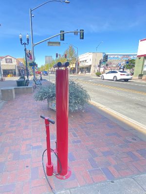
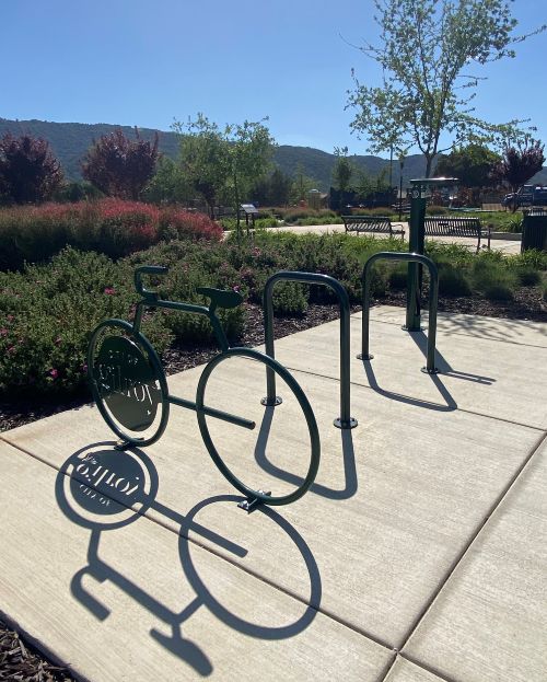
Historic downtown Gilroy is very bike-friendly. With over 100 front-row bike parking spots and a public bike-repair station, you can stop almost anywhere. There are even a total of nine colorful, artistic bicycle racks—see how many you can spot! You’ll also find rolling racks, inverted “u” racks, and pole racks. Check our Downtown Bike Parking Map for specific locations.
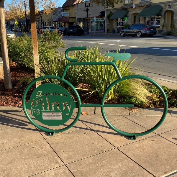
While you are exploring Downtown, you can browse the antique stores or other businesses or stop for a bite at one of many fantastic downtown restaurants.
Family-Friendly Bicycling in Gilroy: Uvas Creek/Levee Path & Hecker Pass Trail
For a great family-friendly option, try biking the paved Uvas Creek/Levee Path. You can begin the path at the 79-acre Gilroy Sports Park on the south end of town. The path will take you past scenic views on your left of Christmas Hill Park, the Uvas Creek (in season) and the Gabilan Mountains.
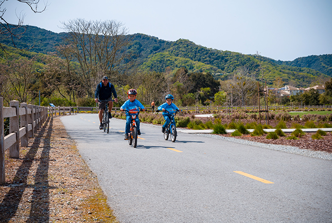
The path continues towards Hecker Pass/Highway 152, where it becomes the Hecker Pass Bicycle Trail and circles back in a loop as you approach Gilroy Gardens. The total path is 11.5 miles roundtrip, and it includes water stations with bottle fillers along the way. You can even bring a lunch and stop for a break at the picnic tables at Christmas Hill Park or The Gateway Plaza, at the corner of Santa Tereasa and First St.
Insider Tip: For beautiful views of the sun setting over the hills, ride the Levee Path heading west across Santa Teresa in the late afternoon/early evening.
Insider Tip: All the parks in Gilroy and the Uvas Creek Levee Trail have water stations with bottle fillers.
The Hecker Pass Bicycle Trail
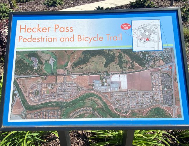
You can take a shorter ride on just the Hecker Pass Bicycle Trail without doing the entire Uvas Creek/Levee Path portion. It is a 3-mile ride if you start the path at Santa Teresa and follow it to the end at Gateway Park. At the park, you can take a break, refill your drink, eat a snack at the picnic table, and even fix your bike at the Dero repair station if needed.
Bicycling in Coyote Lake – Harvey Bear Ranch County Park
Gilroy is surrounded by beautiful open spaces that are waiting to be explored by bicycle. Coyote Lake – Harvey Bear County Park provides over 30 miles of biking trails for different skill levels. Visit Biking in Santa Clara County Parks to learn details about biking in the Santa Clara County Parks.
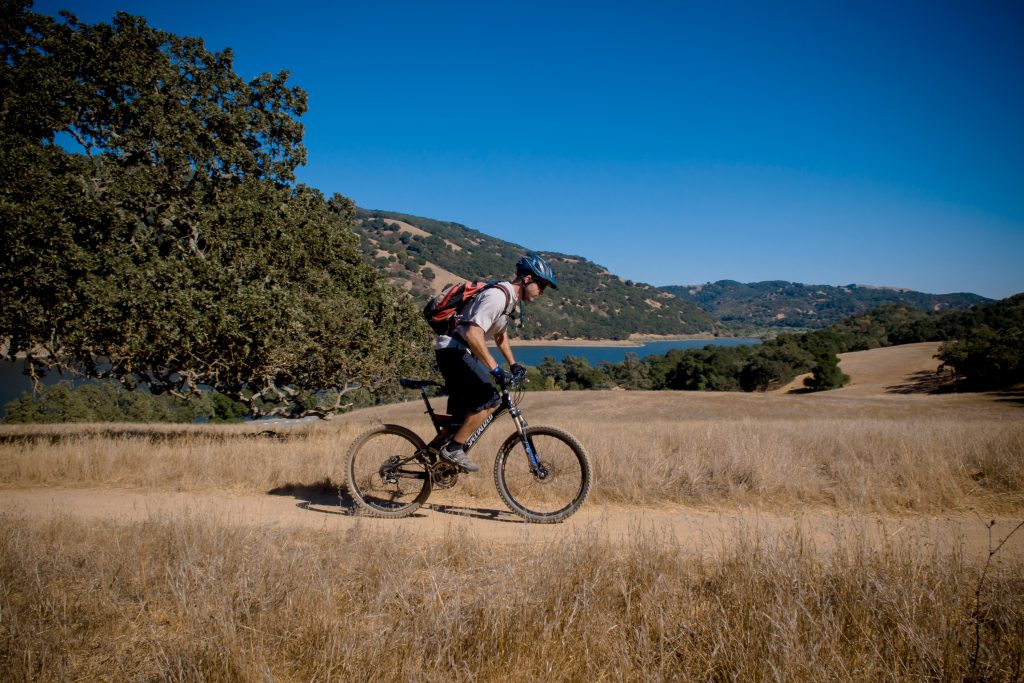
For an easy ride for beginners or families, take a ride on the paved Martin Murphy Loop at Harvey Bear Ranch. It is a simple 2.2-mile loop that offers beautiful views of the Diablo Mountains, along with wildlife and cows in the fields nearby. You will share the path with other families, pedestrians, and sometimes horses. This trail is located off E. San Martin Ave. at the Harvey Bear Entrance on the left, just .25 miles east of Foothill Ave. Parking is free, and there are porta potties and some picnic tables, too.
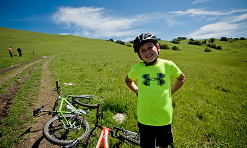
Insider Tip: Weekends can get busy on this popular path, particularly in nice weather, so come early or visit on a weekday if you can.
For the experienced biker, there is a 14-mile intermediate ride called the Harvey Bear Loop, which combines several trails to make a longer path that goes through much of the park, with scenic views of the valley and wildlife.
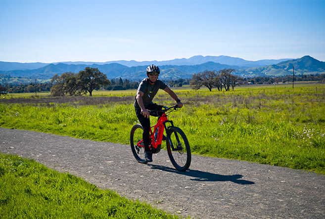
For more options, check out all the Mountain Biking Trails in Coyote Lake Harvey Bear Ranch Park. For recommendations on other trails, including length, difficulty level, and tips from other riders, read All Trails Reviews.
Bicycling in Henry W. Coe State Park
In the vast area around Henry W. Coe State Park in Gilroy and Morgan Hill, you can explore around 290 miles of mountain bike trails. There are two bike trails that are considered easier, and the rest range from moderate to extremely difficult. You can even take a Class 1 e-bike into the park.
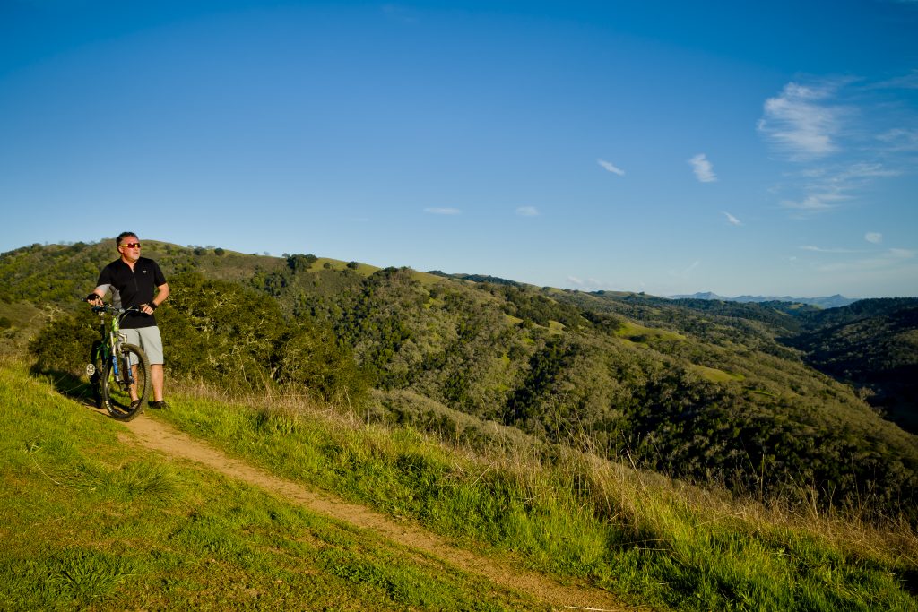
For a bike trail that is popular with locals, try the Hunting Hollow Trail or Coyote Creek Trail near the Gilroy Hot Springs. Technically a part of Henry W. Coe State Park, this popular bike trail is located off Gilroy Hot Springs Road. Park in the Hunting Hollow Parking Lot, where you can self-register and self-pay. There is no parking at the Coyote Creek Trailhead, so park at the Hunting Hollow entrance and then ride the 2 miles to the trailhead. The trail is open year-round. For more information, check out Hunting Hollow Trail.
Be sure to read the rules and recommendations before visiting. For more information on trails, visit Mountain Biking Trails in Henry E. Coe Park.
Insider tip: Be sure to grab a free park map from the bulletin board at the Hunting Hollow parking lot.
Where Bicycles are NOT Allowed in Gilroy
Important note: These county parks in and around Gilroy do not have designated bike trails:
- Mount Madonna County Park (bikes only allowed on paved roads within campgrounds)
- Uvas Canyon County Park (bikes only allowed on paved roads within campgrounds)
- Chitactac Adams County Park
- Uvas Reservoir County Park
Tierra Bella Bicycle Tour
Every year the Almaden Cycle Touring Club holds the Tierra Bella Bicycle Tour, a riding tour with various routes through the scenic South Valley. On April 23, 2022, they will host their 43rd annual tour, with a starting and ending place at the Gilroy campus at Gavilan Community College.
Tierra Bella has rides for cyclists that are flat or hilly, with varying distances, from 33.7 miles to 97.8 miles, with rest stops along the way. You can register as an individual, family, or group. At the end of the ride, back at the Gavilan Campus, riders can enjoy a well-earned, tasty meal. For more information, please visit Tierra Bella Bicycle Tour.
More Adventures to Explore in Gilroy
Whether you are a bicycling enthusiast or a recreational rider looking for a great way to explore the area while getting some exercise, Gilroy and the surrounding areas offer a variety of bicycling options for riders of all experience levels.
If you are interested in exploring more outdoor activities in the Gilroy area, check out Outdoor Adventures on the Visit Gilroy website. If you are planning to camp in the area, we have A Guide to Camping In and Around Gilroy.
And once you have worked up an appetite from all these physical pursuits, check our Restaurant guide to find great places to eat, drink, and relax.
For more wonderful things to do in the area, check out the 33 Things to Do In and Around Gilroy. Be sure to stop by the California Welcome Center Gilroy in Gilroy Premium Outlets, Section A, for more suggestions on local activities or to pick out some memorable souvenirs.


